Country Living in City Limits, Horse Property, 1.15 acres
237 Blossom Lane, Sanders, AZ, USABasics Information
- Category: Vacant Land
- Type: Land For Sell
- Status: Active
- Access: Land Locked
- Zoning: Agricultural
- Terrain: Gentelly Rolling
- Lot size, acres: 1.15 acres
- Annual Taxes: $10
- HOA Fee / Annual: 0
- APN#: 207-26-237
- Date added: Added 2 months ago
Location
- State: Arizona
- County: Apache County
- Zip Code: 86512
Description
-
Description:
** Contact the owner, Wild West Hills LLC, directly to leave a voicemail, (520) 222-8030 **
PRICING – YOUR CHOICE
Buy One Parcel : $3000 + $500 closing = $3500
OR
Buy Two Parcels : $2000 each + $500 closing = $4500160 ft. x 301 ft. = 48,160 SF
** Vacant Land with Utilities Nearby **
1.15 acres
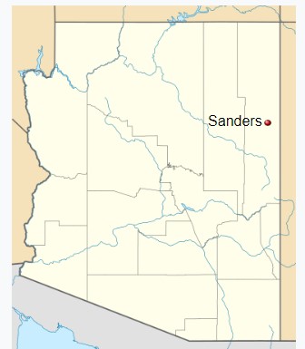
Sanders, Arizona
Apache County, USA
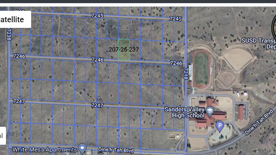
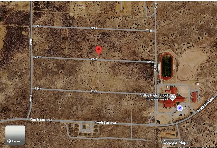
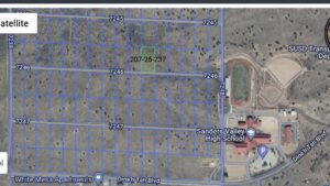
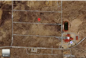
- Just west of Sanders Valley High School
- Undeveloped Homesite
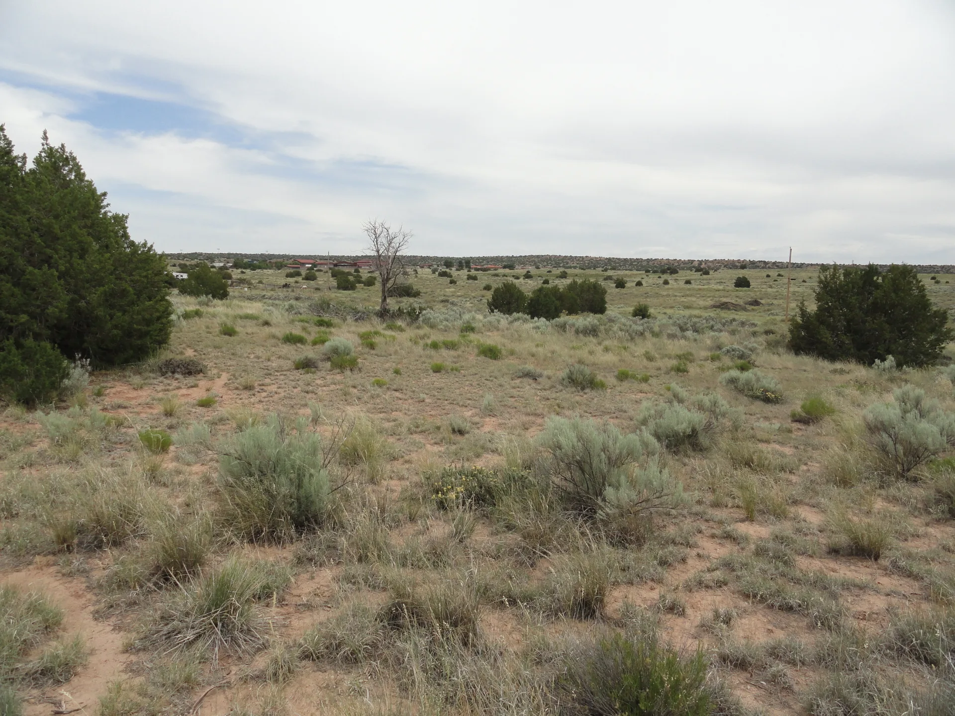
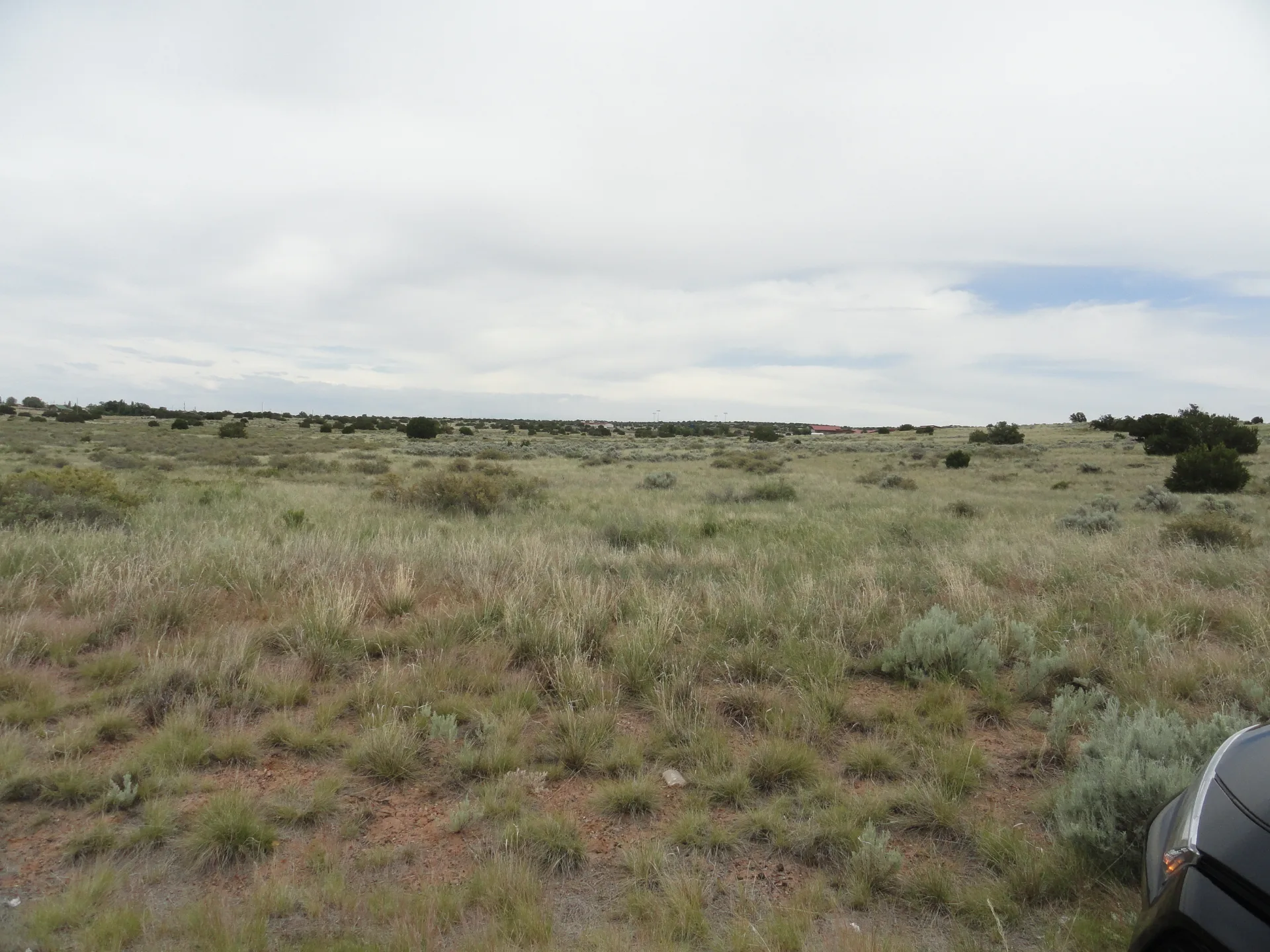
- Quiet and peaceful open spaces
- No HOA, no neighbors
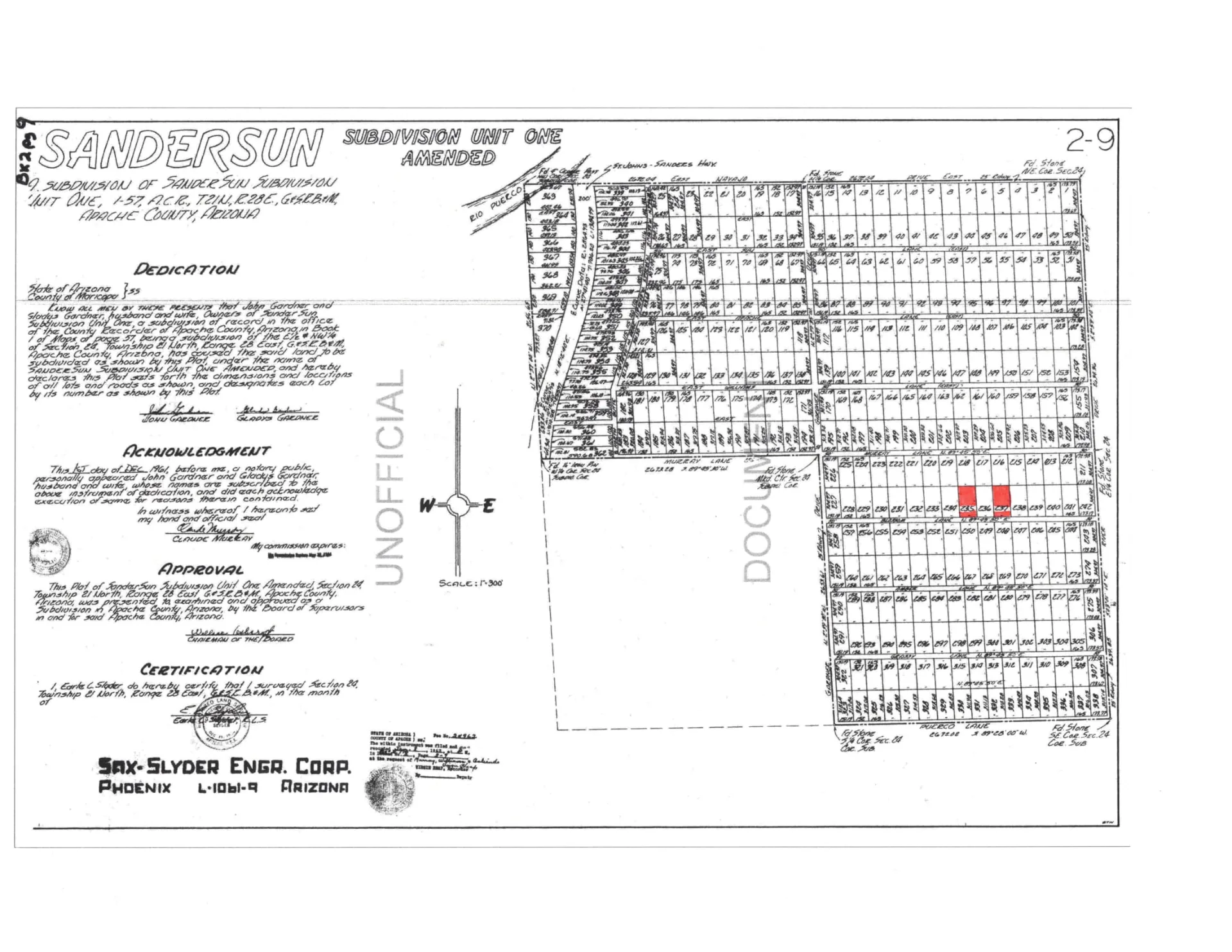
- A second 1.15 acre parcel, Lot 235, is also available
- Title company will process the Special Warranty Deed
** UTILITIES **
- WATER & ELECTRIC – Navajo Tribal Utility Authority, 800-528-5011. This lot is on the Coconino Aquifer
- CITY SEWER – none
- SEPTIC TANK needed after your percolation test is completed. Apache Co. Environmental Svcs, (928) 337-7607.
- PROPANE – Delivery service is available
- NATURAL GAS – none
- INTERNET – Choice Broadband, Starlink, or other company
** DETAILS **
- Parcel Number: 207-26-237
- Zoning: Agricultural General
- Elevation: 5,865 ft.
- Terrain: Level, sloping
- Road Access: County Road 7246 can be cleared by a local company. Or Apache Co. will clear it after you submit a building permit request to them. Apache Co. Engineering Dept. at (928) 337-7528
- Floodzone: “Zone D”, Undetermined Risk, per FEMA map
- Sanders Unified School District: Elementary, Middle, High School
- Property Tax: Under $10 per year (paid up to date)
** NATIVE VEGETATION **
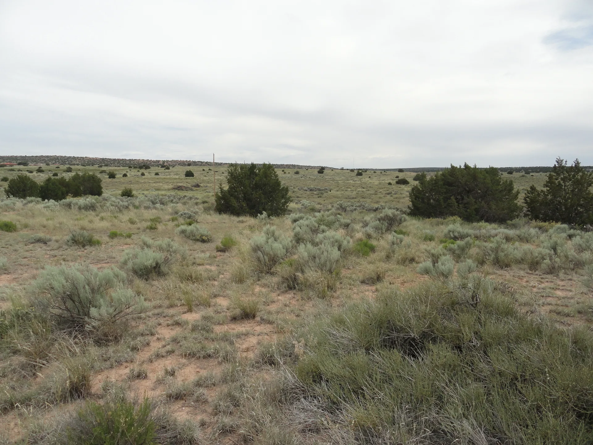
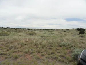
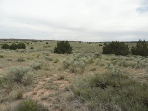
Juniper and Pinon Trees, Brittlebush Flowers, Sagebrush, Prairie Grass
** ALLOWED PER ZONING **
Apache Co. Building Safety Dept, (928) 337-7527 or 337-7623
- One single-family dwelling/modular home/mobile home
- RV camping up to 30 days in a row (every quarter).
- If camping over 30 days, a septic tank must first be installed.
- Animals: Horses, cattle, sheep, goats, hogs, poultry
** EXCELLENT LOCATION **
- Within Sanders city limits
- Close to stores, schools, medical clinic, freeway, etc.
- Historic U.S. Route 66 and I-40 Freeway are 5 minutes away
- S. Highway 191 is 1/4 mile west
- GPS Coordinates, Latitude and Longitude
(Lot 235) 35.20163, -109.31851, and
(Lot 237) 35.20193, -109.31770
Thank you for your interest. Feel free to leave a voicemail message anytime. (520) 222-8030.
***********************************
Seller assumes no liability for any possible liens, ability to develop the land, encumbrances or easements, recorded or not recorded. Contact the Apache County Building Department directly with any specific questions. All information provided here is to the best of our knowledge. No warranties are stated or implied. Land is being sold as is. Buyer is responsible for doing all due diligence and verifying accessibility, zoning, utilities, buildability, and all other pertinent information contained herein prior to purchase.
- Directions: DIRECTIONS to Parcel 207-26-237 1. From Interstate 40, drive SOUTH on U.S. Highway 191. 2. Turn EAST on Dine’h Tah Boulevard, towards Valley High School. 3. On County Road 7238 (first paved road), turn NORTH, just before the cattle guard. 4. Drive one block. Turn EAST on paved County Road 7244. 5. Drive one block to dead end. 6. Turn SOUTH on dirt road, County Road 7248. 7. Turn WEST on next dirt road, County Road 7245. 8. Drive WEST approximately 850 feet. 9. Park and walk 306 feet SOUTH of the dirt road to reach northeast corner of parcel 207-26-237, and parcel 207-26-235 is directly two lots west. The size of each parcel is 1.15 acres, 160’ x 301’ = 48,160 SF.
Photos & Media
Nearby Schools
- Elementary School: Sanders Elementary School
- Secondary School: Sanders Middle School
- High School: Sanders Valley High School
Ask Seller About This Property
Country Living in City Limits, Horse Property, 1.15 acres is a 1.15-acre vacant land for sale in Apache County, Arizona. Priced at $2,000 on Land Sellers Network. Highlights: Featured. See photos, map pin, and message the seller on Land Sellers Network.